
Land & cadastral surveys
Clear land records and survey plans for property matters.

Land surveying · geospatial services
Boundary and cadastral surveys, topographic mapping, construction set-out, hydrographic survey and GIS data for property, development and infrastructure projects.
Capabilities
Survey support shaped around the real needs of your site, project and land decision.
Clear land records and survey plans for property matters.
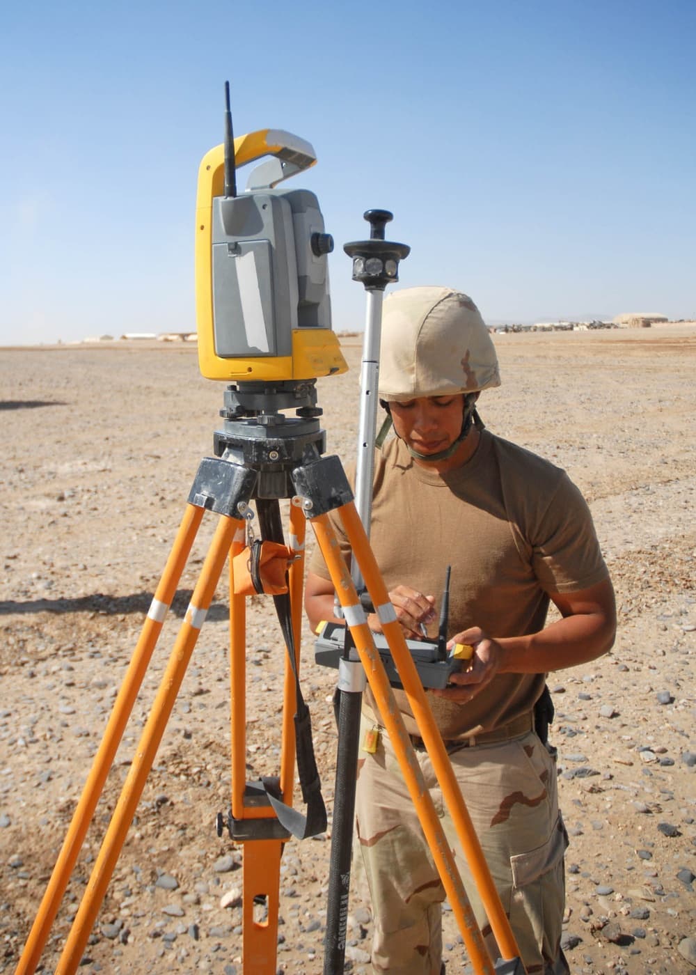
Find, assess and clearly communicate property boundaries.

Accurate terrain and feature data for better site design.
Translate approved plans into precise positions on site.

Measured support for land layout and subdivision planning.

Spatial information organised for practical decisions.

Measured underwater data for waterways and coastal projects.
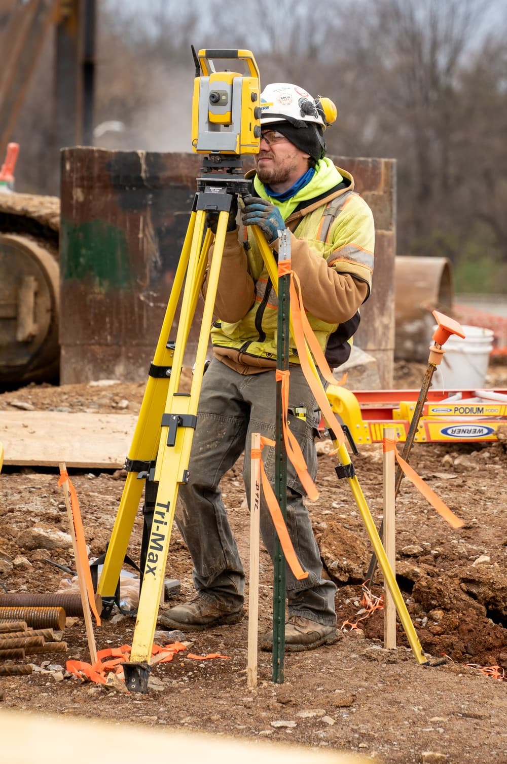
Field data capture · total stationA measured approach
Every enquiry deserves a considered response: the right questions up front, purposeful site work, and outputs that make the next decision easier.
Why work with us
The scope and survey outputs start with the decision you need to make.
Information is explained without unnecessary complexity or ambiguity.
Site work, data and deliverables are approached with consistent attention.
Selected works
Surveying and land documentation across premium residential, commercial and resort developments.
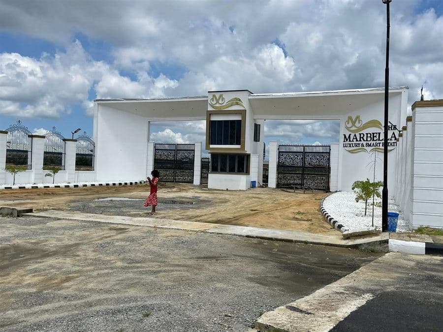 01
Premium residential and commercial estate development in Ibeju-Lekki.
View project details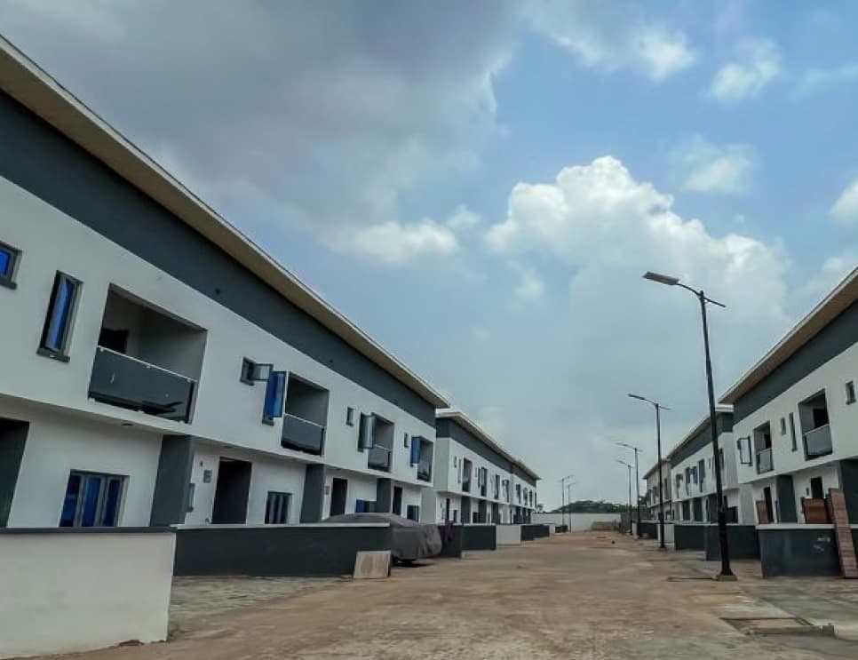 02
Residential estate development in Isheri-North GRA.
View project details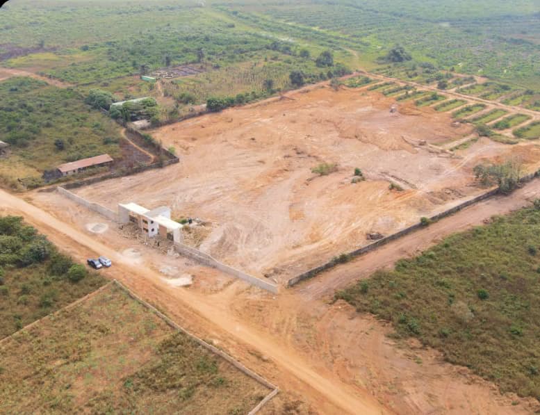 03
Park and resort development in Ketu-Epe.
View project detailsThe process
Share the location, scope and what you need to achieve.
We clarify the brief, site context and the right survey approach.
Fieldwork is planned and carried out for the agreed requirements.
You receive the agreed outputs and a clear route to next steps.
Questions, answered
A location, the purpose of the survey, any drawings or documents you have, and your intended timeframe all help us understand the brief.
Yes. Share the project details and we will advise what information is needed to assess the scope and quotation process.
Deliverables are agreed for each project. They may include plans, coordinates, level information or digital mapping outputs depending on the brief.
Service coverage is confirmed on a project-by-project basis. Please include your site location with your enquiry.
Discuss your site
Tell us what you are planning, buying, building or documenting.