Master plan parcellation
Translated raw master plan concepts into precise residential and commercial plot layouts, including standardized 300 sqm and 500 sqm allocations.

Project portfolio
Geomatics and engineering surveying across premium residential and commercial estates—turning land concepts into precise layouts, verified boundaries and statutory survey documentation.
The work
Across the estate portfolio, surveying connected master plans to physical sites and their records. The work combined precise land division, boundary verification, terrain information, plot beaconing and construction checks.
Standardized residential plot allocations, with commercial parcels incorporated into estate layouts.
Scope & deliverables
Integrated field, engineering and cadastral work supported estate planning, allocation, documentation and construction.
Translated raw master plan concepts into precise residential and commercial plot layouts, including standardized 300 sqm and 500 sqm allocations.
Carried out perimeter and cadastral surveys to establish estate limits, verify boundaries and support title integrity.
Mapped terrain, elevations and water-flow patterns to inform drainage routes, foundation design and engineering decisions.
Coordinated the fabrication, placement and unique numbering of concrete boundary pillars for plot identification and allocation.
Prepared and certified stamped survey plans with geodetic data to support processing of Governor’s Consents and Certificates of Occupancy.
Checked road and drainage alignments during construction against approved estate layouts.
Featured estates
Residential, commercial and resort developments supported through coordinated field, engineering and cadastral surveying.
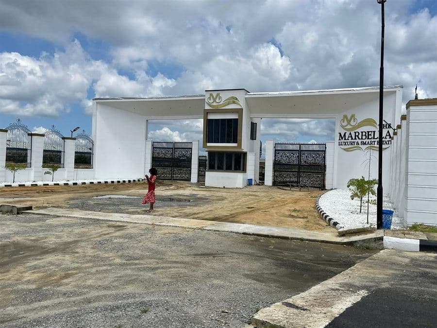 01Selected work
Ibeju-Lekki, Lagos
Premium residential and commercial estate development in Ibeju-Lekki.
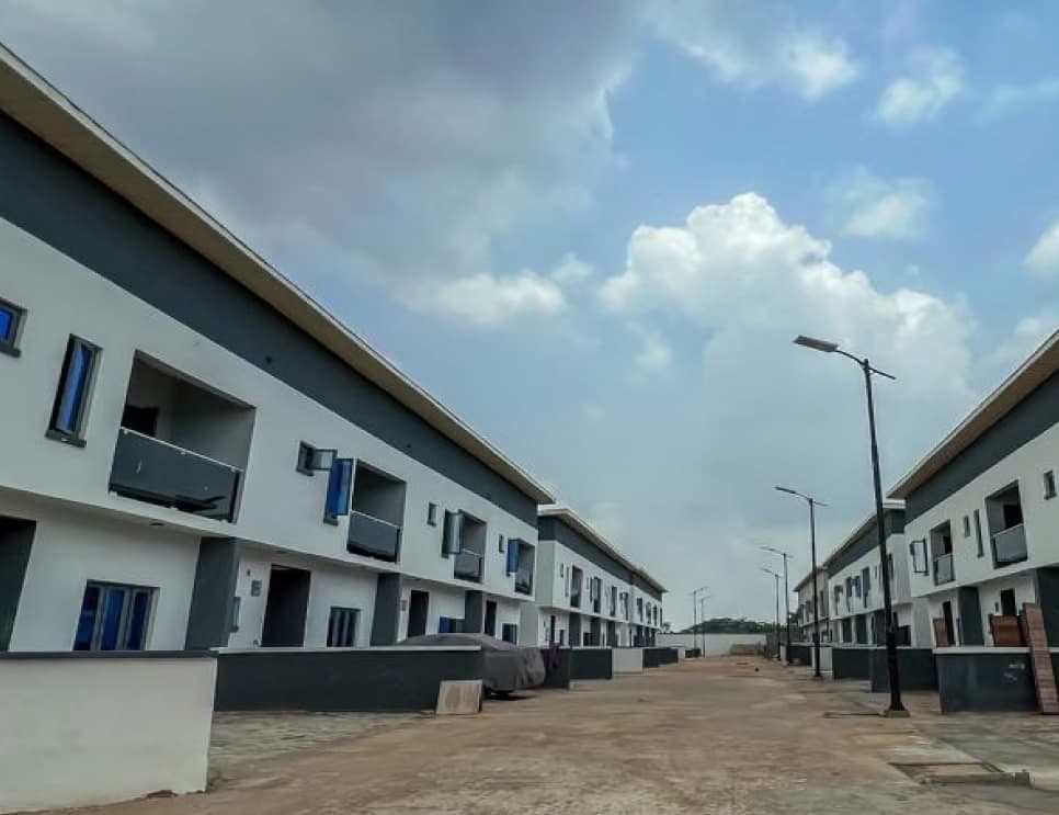 02Selected work
Isheri-North GRA, Lagos
Residential estate development in Isheri-North GRA.
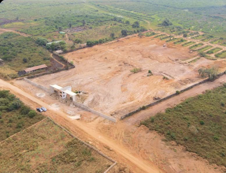 03Selected work
Ketu-Epe, Lagos
Park and resort development in Ketu-Epe.
 04
Abuja axis
Park and resort developments in the Abuja area.
A measured foundation